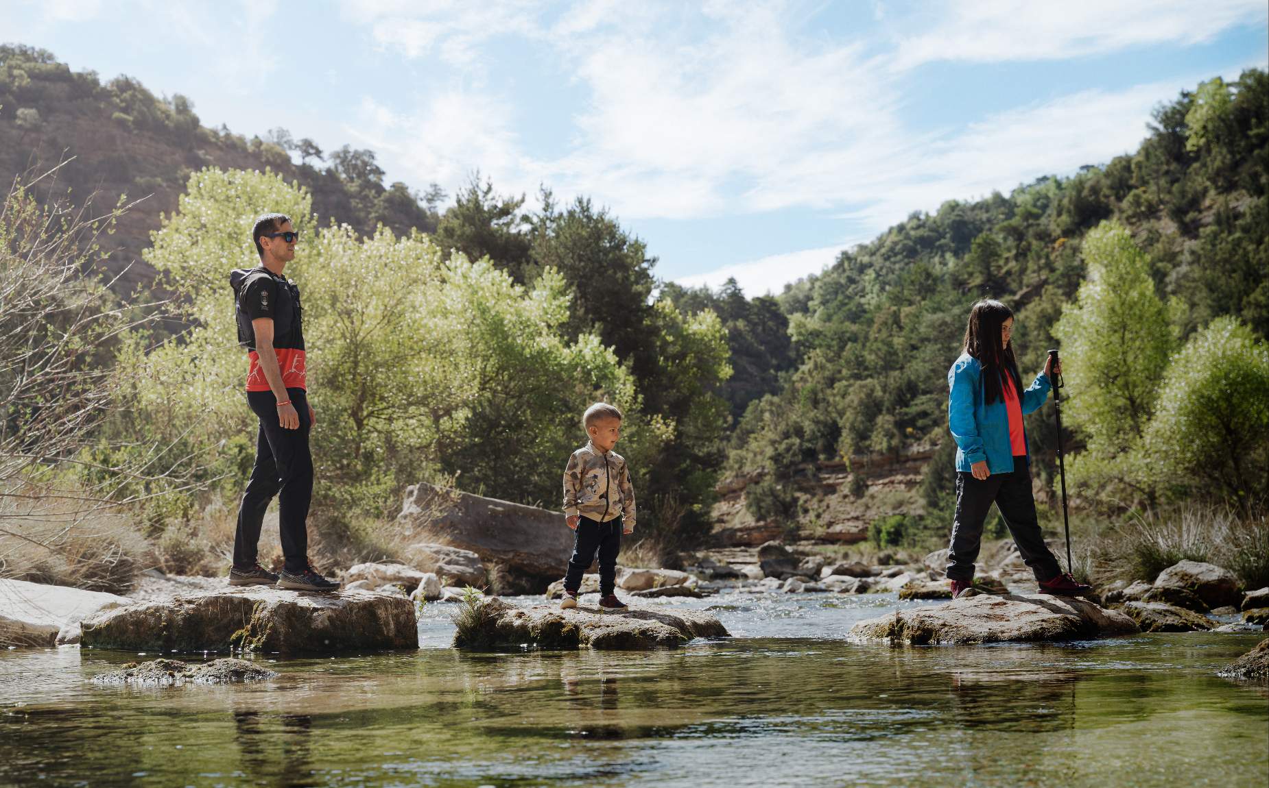
CAMINO NATURAL SOMONTANO
Route composed of three stages
Itinerary of more than 50 km of route
Stage 1:
- Type of route: circular and hiking.
- Starting point: Alquézar.
- KM: 16.9.
- Duration: 6 hours.
- Unevenness: 750 m.
- MEASURES: 2-2-2-3.
Points of interest: Medieval village of Alquézar, hermitage of San Gregorio, views over the Vero ravine, Villacantal Bridge, town of Asque, Devil's Bridge and Fuendebaños Bridge.
Stage 2:
- Type of route: linear and hiking.
- Starting point: Alquézar.
- KM: 22.
- Duration: 8 hours.
- Difference in altitude: 950 m.
- MEASUREMENTS: 2-2-2-4.
Points of interest: Town of Radiquero, hermitage of the Virgen de la Viña, Cautiecho ravine and Puente de las Bruxas and Tranco de las Olas.
Stage 3:
- Type of route: linear and hiking.
- Starting point: Las Almunias de Rodellar.
- KM: 18.5.
- Duration: 6 hours.
- Difference in altitude: 700 m.
- MEASUREMENTS: 2-2-3-4.
Points of interest: Pasaderas de Pedruel, Peña Falconera or Huevo de Morrano and emergences of La Tamara and El Puntillo.

