Planning the trip
Nature and culture at your fingertips
Accessible to all travelers
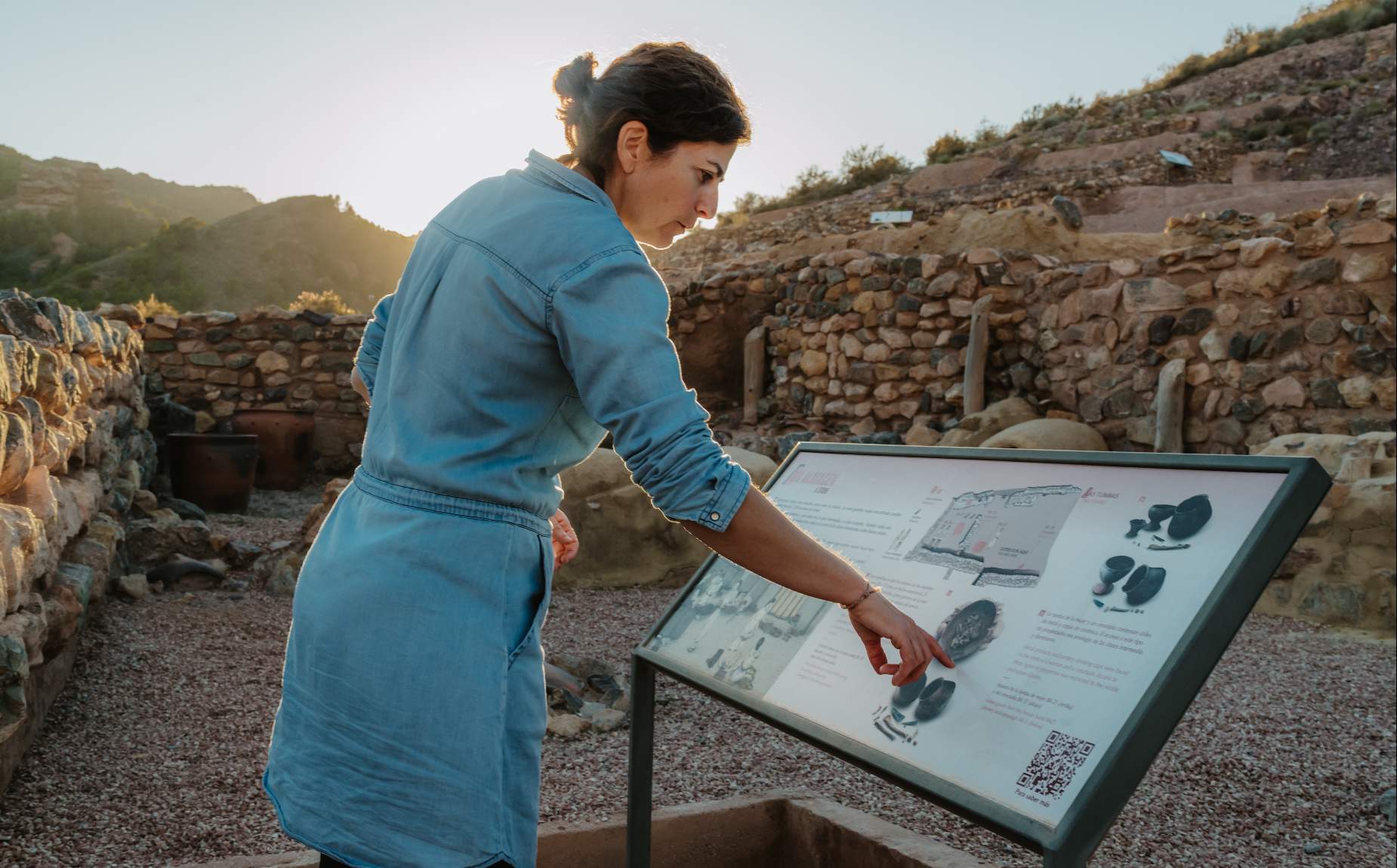
Attention to diversity is one of the objectives of the destination, so that all users can enjoy the natural and cultural heritage of the territory. People with reduced mobility also have adapted routes both within the protected area and in the surroundings of the monuments and historic centers.accessible routes that take you into the interior of the villages that are sheltered by Sierra Espuña. as well as the "historic forest" of Sierra Espuña. The texts are written with easy reading and each sign has a QR code with which you can get the locution of a text. In addition, along each route there are signs on the ground that mark the route to follow.
Visitor's Center and Tourist Offices
All have nearby accessible parking, ramps and access for people with reduced mobility. They have counters at two heights and fixed magnetic induction loop to serve people with different hearing abilities. They are completely digitalized and we can also find adapted toilets in the case of the Tourist Office of Mula and in the Visitor Center of Sierra Espuña.
Ricardo Codorníu Accessible Path
This trail, located next to the Visitor Center, is 1 kilometer long (linear) and has a pavement that allows wheelchairs and strollers. It has a pavement that allows wheelchair and stroller access and a guide strip (for the visually impaired) on the side, starting at the Ricardo Codorníu Visitor and Management Center and ending at Fuente del Hilo, at the beginning and end there is parking for people with disabilities, a viewpoint with views of Huerta Espuña and a bench for resting. It also has, along the accessible path, interpretive panels.
Viewpoints
Mirador de Alhama: Uniform pavement without unevenness. It has parking (the parking spaces are not marked or signposted). It does not have signage about the views.Mirador Casa del Avión: It has a small step to access the platform of the viewpoint. There are benches for resting and there are handrails. It has signage about the views.Mirador Collado Bermejo: Uniform pavement without unevenness. There are benches for resting and there are handrails. It has signposting on the views.Mirador Collado Pilón: Uniform pavement without unevenness. It has parking on the other side of the road (the places are not delimited nor signposted). It has railings. It has signage about the views.
Recreational areas
Explorers Camp: It has an accessible table near the parking lot. It has a parking lot, although the spaces are not delimited.Fuente del Hilo: It has an accessible table that is accessed by a ramp from the lower parking lot. It has two parking spaces: an upper one with two marked spaces for people with reduced mobility and a lower one where the spaces are not marked or marked, but which gives access to the accessible table.La Perdiz: It has two accessible tables, one of them marked. It has parking, although the places are not marked or signposted.Las Alquerías: It has two tables for people with reduced mobility and can be accessed from the parking lot. It has a parking space for people with disabilities with an accessible path to two accessible tables and to the camping area.Balsa Grande: A large accessible table with two places for people with reduced mobility and another smaller table, also accessible. El Grifo (La Santa de Totana): An accessible table with a place for people with reduced mobility. The parking lot is not signposted or delimited.La Portuguesa: It has an accessible table. The parking lot is not signposted or delimited.
Camping areas
La Perdiz camping area: In the camping area there is a preferential area reserved for people with reduced mobility, at the end of the access ramp and it is signposted.Camping area Explorers Camp: It is the only camping area of the Park that allows the entrance with convertible tents for people with reduced mobility. If you need this service, remember to notify when requesting authorization, as the camping area is closed to general vehicle access.
How to get there
The car is the most commonly used option. It can be reached by the A-7, Autovía del Mediterráneo, which links the Region of Murcia with the Levante and Catalonia and connects it with Andalusia; as well as by the A-7/ RM-2, highway that links Cartagena and the Mar Menor with the Guadalentín Valley.Other options are the RM-15, highway that joins the Valley of the Guadalentín with the Northwest of the province; the RM-3, that links the zone of the Low Guadalentín with the Coast of Mazarrón and the A-30/ A-7, that joins Albacete and Madrid with the Region of Murcia and the Valley of the Guadalentín.By Plane, the nearest airport is the International Airport of the Region of Murcia (Murcia-Corvera), located only 15 minutes from the capital, 15 from the coast and 30 from the Territory Sierra Espuña. There is bus and cab service and it is connected to all the highways (RM-2 to Territorio Sierra Espuña).Another option is the Airport of Alicante-Elche (El Atlet) located 45 minutes from Murcia capital and 1 hour from Territorio Sierra Espuña by the A-7 highway (Autovía del Mediterráneo)Currently you can not access by train to the towns of Sierra Espuña due to the works of the Mediterranean Railway Corridor, but you can do it by bus to the stations of Totana, Alhama de Murcia, Mula or Librilla and from there to Aledo or Pliego. The access to the Regional Park of Sierra Espuña does not have public transport at the present time, but you can access in your own vehicle or by cab from any of the towns.