Senderismo
Where every path tells a story
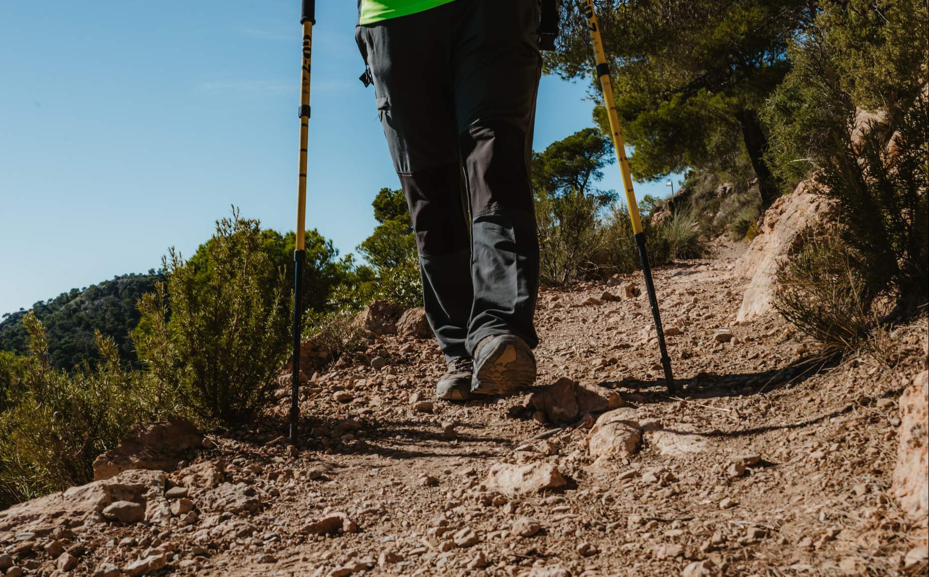
Explore Sierra Espuña and its municipalities with guided hiking trails.
In the Territorio Sierra Espuña and its municipalities you can take hiking trails, as well as educational and interpretive itineraries in which you will be accompanied by knowledgeable guides of the territory.routes run through approved and marked trails that will bring you closer to the natural environment and local heritage. They are an important attraction for visitors who want to enjoy nature and discover new places also in more urban areas through spectacular walks.
Footpath Network of the Sierra Espuña Regional Park
The Regional Park of Sierra Espuña has 11 marked trails that are included in the Network of Trails of the Region that make it possible to know the most interesting enclaves and environments of the protected area, discover the keys of each trail and choose the most appropriate to your interests.
El Berro Trail
PR-MU-79; PR-MU 41; PR-MU 57 GR-252 Type: CircularDistance: 10,450 kmEstimated time: 3 hours (without stops)Start and finish: El Berro (Next to the Sierra Espuña campsite)30N X-632630 Y-4194672Uphill: 297m; Downhill: 297mCartography IGN: 1:25000 Sheet 933-III Alhama de Murcia
Path of the Seven Brothers
PR-MU-41Type: LinearDistance: 3,350 mEstimated time: 1h 10min (without stops)Start: "Ricardo Codorniu" Visitor Center 30N X-630943 Y-4191043.End: La Perdiz recreational area 30N X-630270 Y-4192526Uphill: 106m; Downhill: 121mCartography IGN: 1:25000 Sheet 933-III Alhama de Murcia
Valle de Leiva ? Collado Mangueta
PR-MU-57Type: Linear (one way)Distance: 7.950mEstimated time: 3 hours (without stops)Start: Recreational area La Perdiz 30N X-630270 Y-4192526.End: Parking Collado Mangueta. 30N X-626078 Y-4192518Uphill: 635m; Downhill: 0mCartography IGN: 1:25000 Hoja 932-IV Sierra Espuña; 933-III Alhama de Murcia
Sendero Ricardo Codorniu
SL-MU-1Type: CircularDistance: 2.260mEstimated time: 45 min (without stops)Start and end: "Ricardo Codorniu" Visitors Center 30N X-630943 Y-4191043Elevation of ascent: 80m; Descent of descent: 80mCartography IGN: 1:25000 Sheet 932-IV Alhama de Murcia; 933-III Alhama de Murcia
Peña Apartada Umbria Trail
PR-MU-59Type: CircularDistance: 6.570mEstimated time: 2h 30min (without stops)Start: Visitors Center "Ricardo Codorniu" 30N X-630943 Y-4191043.End: Collado Bermejo 30N X-626078 Y-4190899Uphill: 426m; Downhill: 10mCartography IGN: 1:25000 Hoja 932-IV Sierra Espuña; 933-III Alhama de Murcia
Pedro Lopez Trail
PR-MU-63-63.1Type: CircularDistance: 16 kmEstimated time: 5h (without stops)Start and finish: Parking Collado Mangueta 30N X-626050 Y-4192530Uphill: 638m; Downhill: 638mCartography IGN: 1:25000 Hoja 932-IV Sierra Espuña
Sendero del Purgatorio
PR-MU-61; PR-MU-62-62.1Type: CircularDistance: 11.8 kmEstimated time: 3h 30min (approx. without stops)Start and finish: Finca Caruana 30N X-623322 Y-4187405Delevation gain: 353m; Descent gain: 353mCartography IGN: 1:25000 Sheet 932-IV Sierra Espuña; 953-II Aledo
Los Ballesteros Ravine ? Path of the Lentisco
PR-MU 61; PR-MU 60-60.1Type: CircularDistance: 9.300mEstimated time: 3h 30min (approx. without stops)Start and finish: Aula de la Naturaleza de las Alquerías 30N X-625102 Y-4188692Uphill: 421m; Downhill: 421mCartography IGN: 1:25000 Sheet 932-IV Sierra Espuña
Path of the Alquerías
SL-MU 2Type: CircularDistance: 3.715mEstimated time: 1h 15 min. (approx. without stops)Start and finish: Las Alquearías parking lot 30N X-625089 Y-4188656Uphill: 140m; Downhill: 140mCartography IGN: 1:25000 Sheet 932-IV Sierra Espuña; 953-II Aledo
La Santa Trail
PR-MU 64Type: CircularDistance: 7.250mEstimated time: 2h 30min (approx. without stops)Start and finish: Paseo del Santuario de Santa Eulalia de Mérida 30N X-627093 Y-4185024Uphill: 235m; Downhill: 235mCartography IGN: 1:25000 Sheet 953-II Aledo
Corazón de Jesús Viewpoint Trail
SL-MU-3Type: CircularDistance: 2.400mEstimated time: 50 min. (approx. without stops)Start and end: Sanctuary of Santa Eulalia de Mérida 30N X-627062 Y-4184809Uphill: 105m; Downhill: 105mCartography IGN: 1:25000 Sheet 953-II Aledo