SENDERISM
Different trails to enjoy the landscape


Discover the park on foot
Hiking is one of the main activities that can be done in the natural park. There is a whole network of signposted routes that will take you to wonderful natural environments. In www.turismosomon tano.es are available the technical data sheets, maps and tracks of each of these routes.
Route to the Tamara and El Puntillo Springs
- Type of route: linear hiker round trip.
- Starting point: Salto de Bierge.
- KM: 9.2.
- Duration: 3 h.
- Elevation gain: 470 m.
- MEASURE: 2-2-2-2-2.
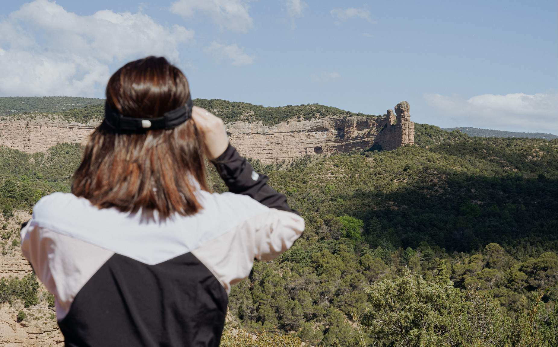
Points of interest: rocky formation "El Huevo", emergences and badinas, conglomerate formations.
Route to the Portal de la Cunarda
- Type of route: Hiking, circular.
- Starting point: A-2205. Colungo.
- KM: 11,7.
- Duration: 4 h.
- Elevation gain: 540 m.
- MEASURE: 2-2-2-2-3.
Points of interest: limestone formations, characteristic landscape of the Sierra de Guara, area of mycological interest, Portal de la Cunarda.
Chimiachas Route
- Type of route: Hiking, linear round trip.
- Starting point: Alquézar.
- KM: 12,2.
- Duration: 5 hours.
- Elevation gain: 650.
- MEASUREMENTS: 2-2-2-3.
Points of interest: Clusas viewpoint, Basacol pools, Quizáns shelters, Chimiachas cave, Levantine and schematic cave paintings.
Route of the Ermita de la Virgen del Castillo Hermitage
- Type of route: circular.
- Starting point: Rodellar.
- KM: 3,8.
- Duration: 2 h.
- Elevation gain: 240 m.
- MEASURE: 2-2-3-2.
Points of interest: Traditional architecture, dry stone walls, Mediterranean forest, Romanesque hermitage of the Virgen del Castillo, Mascún canyon, uninhabited village of Cheto.
The Walkways Route
- Type of route: Circular route exclusively for hikers.
- Starting point: Alquézar.
- KM: short 2,2 | long 3,1.
- Duration: short 1 h 30 min | long 2 h.
- Unevenness: short 160 m | long 169 m.
- MEASURES: 2-2-3-2.
Points of interest: Vero river canyon, historical use of the Vero river, Fuendebaños bridge.
El Real de Mascún route: from Rodellar to Otín
- Type of route: hiking, circular.
- Starting point: Rodellar.
- KM: 17.4.
- Duration: 5 h.
- Elevation gain: 650 m.
- MEASUREMENTS: 3-2-3-3.
Points of interest: Surgencia de Mascún, rocky needles, uninhabited Otín, Romanesque church of Nasarre, Dolmen de Losa Mora.
Pacos de Morrano Route
- Type of route: hiking, circular.
- Starting point: Morrano.
- KM: 6.7.
- Duration: 2 h.
- Elevation gain: 240 m.
- MEASUREMENTS: 1-2-2-2.
Points of interest: Locality of Morrano, observation of rupicolous birds, rock formation El Huevo de Morrano.
Route through the Crestas del Balced
- Type of route: Circular, hiking.
- Starting point: Las Almunias de Rodellar.
- KM: 20.5.
- Duration: 8 hours.
- Difference in altitude: 950 m.
- MIDE: 3-2-2-4.
Points of interest: views over the Pyrenees, the mountains and the Guara ravines.
Route to the Tozal de Mallata
- Type of route: hiking. Linear round trip.
- Starting point: A-2205. Vero viewpoint.
- KM: 2.2.
- Duration: 50 min.
- Elevation gain: 140 m.
- MEASURE: 2-1-2-1.
Points of interest: limestone formation, magnificent views over the Pyrenees and the Vero Canyon; Mallata shelters.
Route to Abrigo de Arpán
- Type of route: hiking. Linear round trip.
- Starting point: A-2205. Arpán parking lot.
- KM: 2.6.
- Duration: 1 h.
- Difference in altitude: 120 m.
-MEASURES: 2-2-2-2-1.
Points of interest: Arpán shelter.
And for those who like to practice Nordic walking or trail running, these Pre-Pyrenees mountain ranges are also an ideal place, as well as for those who prefer to touch the rock, they will also find two via ferratas and three climbing areas.
And if we dive into the rivers? The Sierra de Guara is the cradle of canyoning in Europe thanks to its more than sixty canyons where you can slide, swim, jump or simply let yourself go. Vero, Mascún, Peonera, Gorgas Negras are some of the most mythical. Doing the activity accompanied by a professional guide is synonymous with safety.
And if we do all this with the family? Well, also, because there are exclusive proposals for small adventurers and enjoy nature, adventure and sport all together as a family.
Climbing and canyoning activities are regulated in the Natural Park of the Sierra and Canyons of Guara.