

HIKING AND OTHER OUTDOOR ACTIVITIES
A course designed for exploring nature by land, water, and air
A course designed for exploring nature by land, water, and air
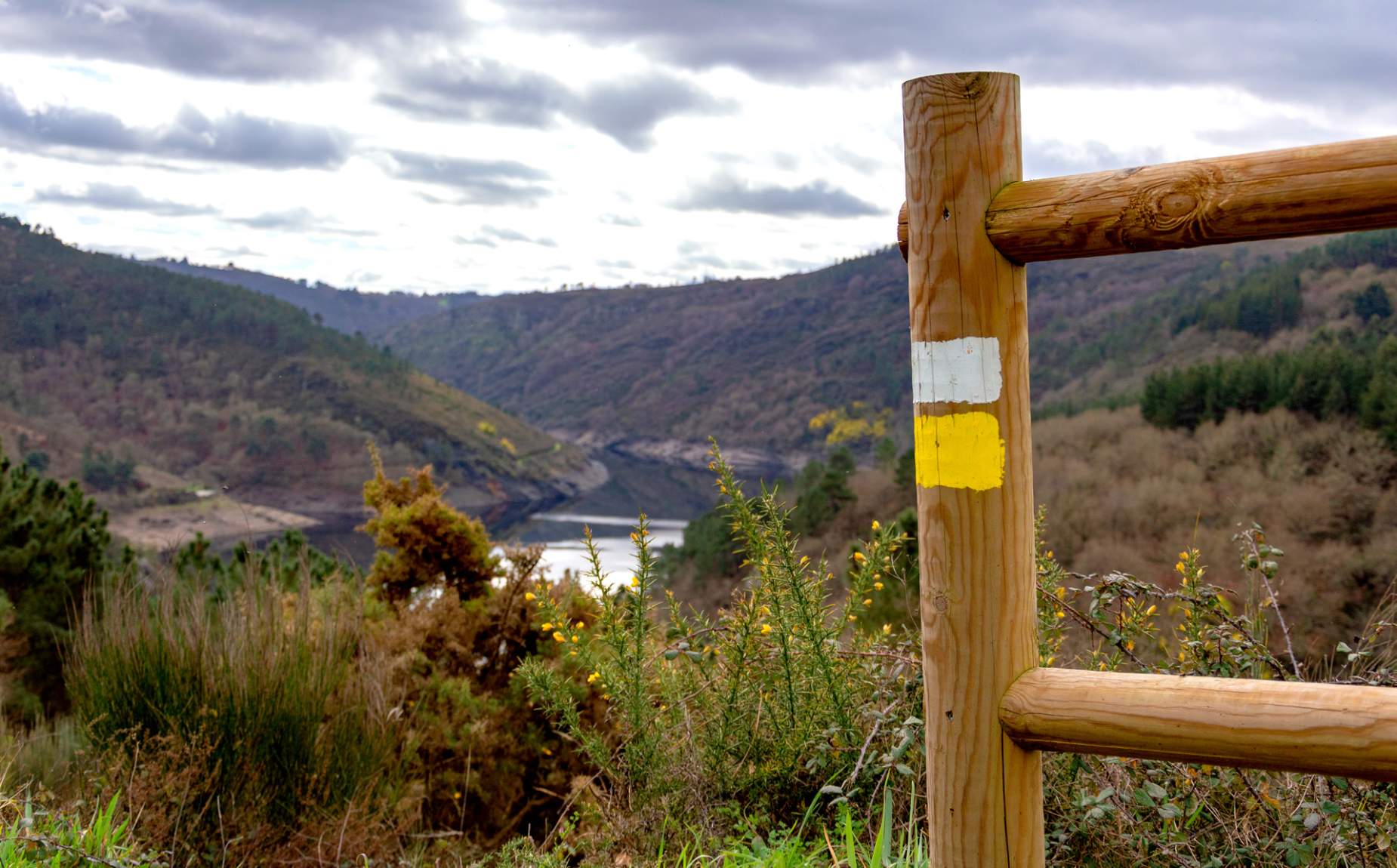
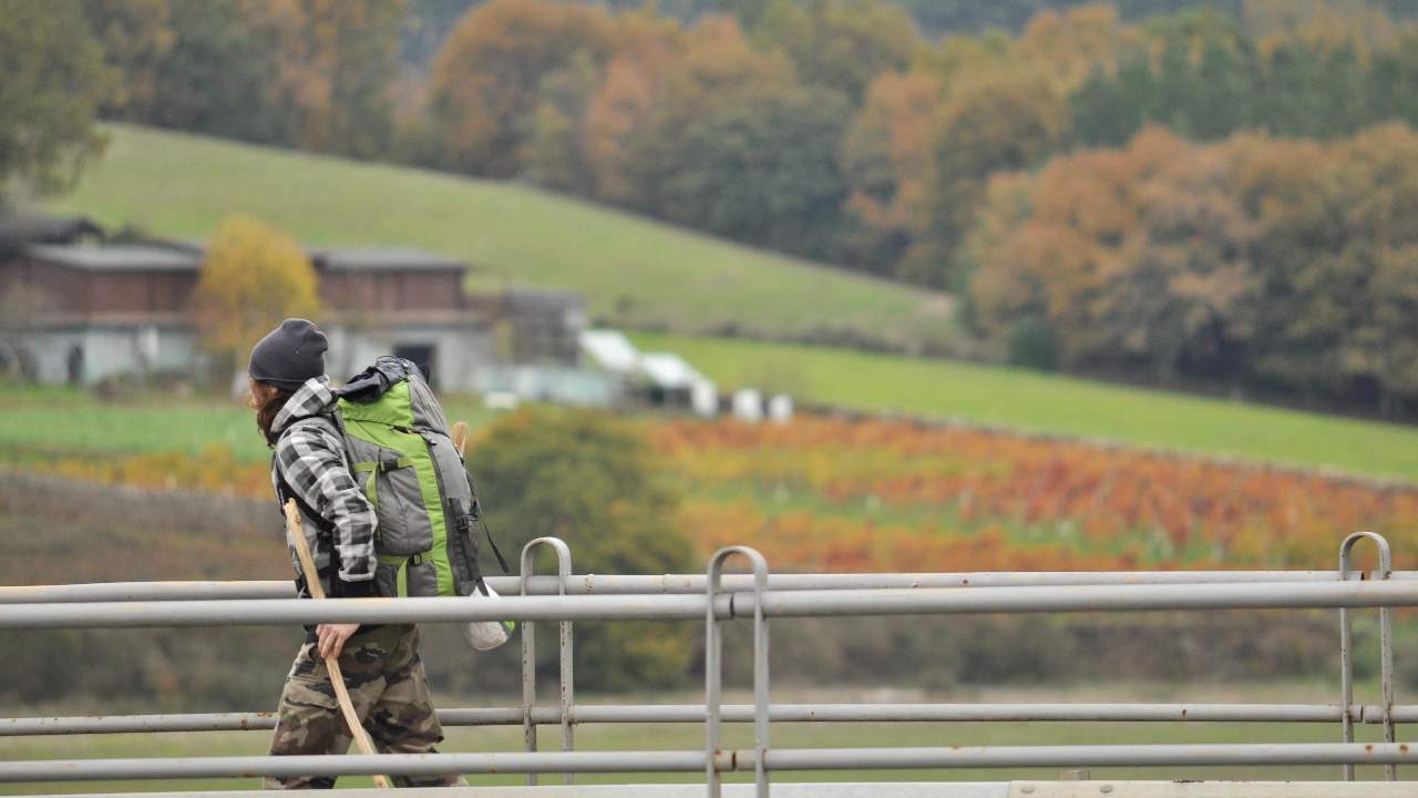
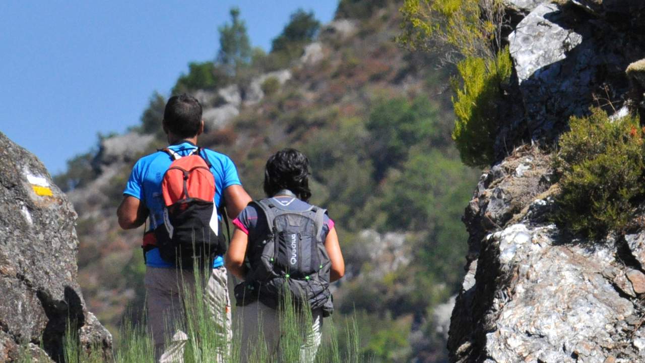
While this ecotourism destination boasts an extensive network of lookout points, its network of trails is equally impressive. From simple strolls to more challenging routes that immerse you in lush forests, they lead you to hidden waterfalls or reveal a world rich in architectural heritage, featuring spectacular monasteries, churches, castles, manor houses, villas, and historic sites. Trails that lead to balconies suspended over the abyss of our canyons and riverbanks, winding their way through vineyards… once again, it won’t be easy to choose.
Lace up your boots and explore the trails, paths, Roman roads, and royal highways. Among the wide variety of trails available are:
Tour of the Sil Canyon – Santa Cristina Monastery
The PR-G 98, a moderately difficult 18-kilometer trail, takes you through one of the most spectacular sections of the Sil Canyon, with the opportunity to visit the Monastery of Santa Cristina.
Route of the Magic Forests
The PR-G 213 circular trail, a 7.5-kilometer route of moderate difficulty in Castro Caldelas, winds through not only forests featuring monumental chestnut trees and other types of woodland but also natural lookouts, abandoned villages, historical landmarks, and more.
Moura Granite Route
The PR-G 253 circular trail is a 7.5-kilometer route of moderate difficulty that begins in the village of O Alcouce and winds along the slope of the Sil Canyon, surrounded by groves of oak and centuries-old chestnut trees, where you can discover curious and surprising rock formations.
Prada Glacier Valley Route
The PR-G 138 circular trail is a moderately difficult route covering 17.5 km. It begins in Manzaneda, next to the parish church of San Miguel de Bidueira—a gem of 18th-century Baroque architecture—and offers a magnificent panoramic view of the Prada Glacial Cirque.
Campodola Geological Fault Line Trail.
The PR-G 192 linear trail, which is of moderate difficulty and 7 km long (one way), is a short route that takes you to the main attraction (International Geosite) of the Montañas do Courel Geopark.
Belesar Vineyard Trail
An easy, certified PR-G 183 trail of moderate difficulty, 4.6 km long, that takes you through vineyards along the banks of the Miño River.
The Route of A Cubela
The PR-G 180 is a 13.5-kilometer circular trail of low difficulty that begins in Castro de Abaixo. Part of the route runs along the Sil River, while another section winds through higher-elevation areas amid forests and meadows, offering magnificent views of the river and a large meander.
Xanarteiro Route
The PR-G 174 linear trail is a 6.8-kilometer (one-way) route of moderate difficulty that begins at the Monastery of Santa María de Ferreira, winds through vineyards, and ends at the Aguas Altas spring.
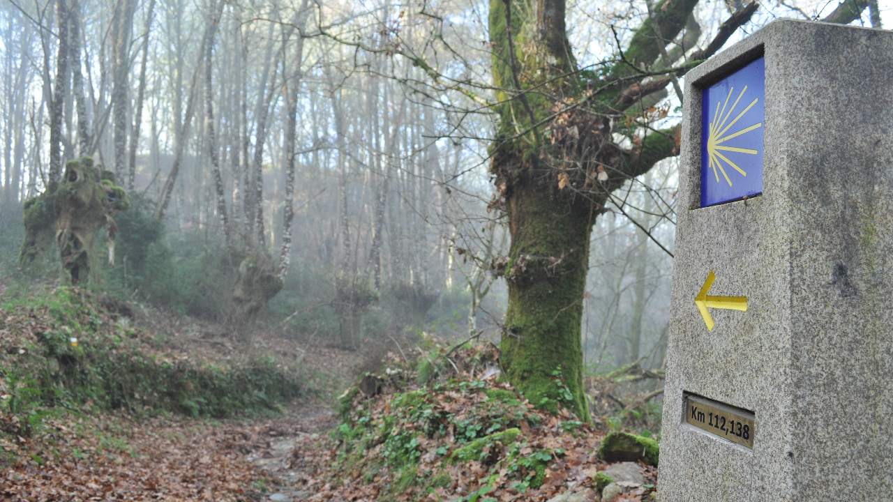
In addition to these and many other trails, two routes of the Camino de Santiago pass through the Ribeira Sacra: the French Way, which runs for 23 kilometers through the northern part of the region, and the Winter Way, a variant of the Camino de Santiago that runs from Quiroga to Monte Faro, covering nearly 265 kilometers through the Ribeira Sacra.You can find detailed information about these and other routes at https://turismo.ribeirasacra.org/es/senderismo
Want to explore the Ribeira Sacra in a thousand different ways?
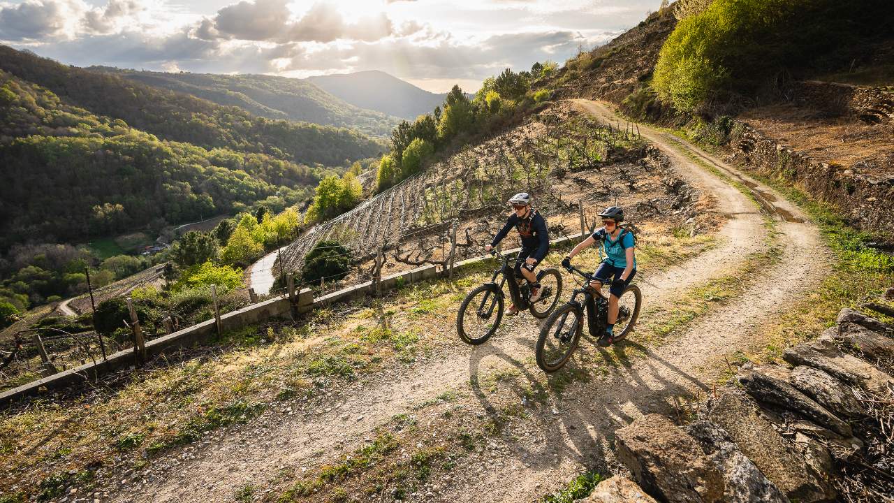
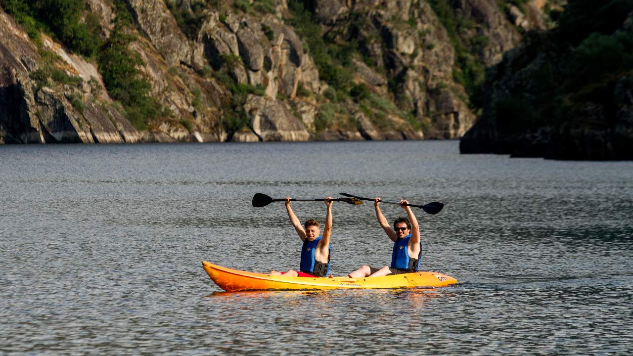
The Ribeira Sacra region seems tailor-made for exploring in a thousand different ways, with activities ranging from hiking, kayaking, horseback riding, and mountain biking to hot-air balloon rides. These are experiences you’ll never forget.
If cycling is your thing, Ribeira Sacra awaits you with over 150 km of dedicated MTB trails, 225 km of paths adapted for cycling tours, and numerous hiking trails partially suitable for bikes.
If water is your element, you’re in the perfect spot for kayaking or paddleboarding. Can you think of a better place than the Sil and Miño rivers? And if seeing these landscapes from the water’s surface is spectacular, can you imagine them from the air? It’s impossible to resist watching a unique sunrise over Ribeira Sacra thanks to the two hot-air balloon companies operating in the area.
For more information: https://turismo.ribeirasacra.org/es/turismo-activo