

USEFUL INFORMATION
Tips for planning your trip to Ribeira Sacra
Tips for planning your trip to Ribeira Sacra
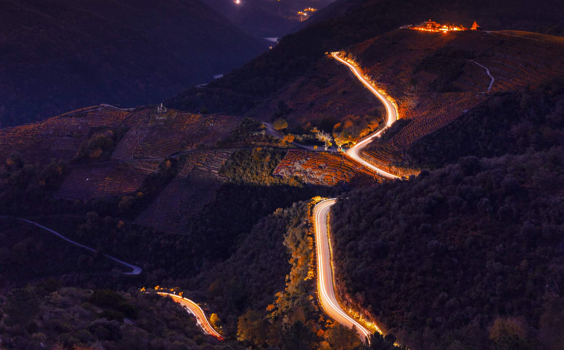
Ribeira Sacra is a vast region straddling the southern part of the province of Lugo and the northern part of the province of Ourense. There are several access routes by road, although the main arteries are the N-120, which crosses the region from east to west, and the N-540, which crosses from north to south. The OU-536 runs through the southern part of Ribeira Sacra in the province of Ourense, providing various access points to the heart of the region via other local roads.
Due to the terrain, the roads are narrow and winding. Therefore, it is essential to drive with caution and attention. It is also recommended to keep the fuel tank sufficiently full.
The Ribeira Sacra region has a number of tourist information offices located throughout the area. These permanent information points are located in Monforte de Lemos, Sober, Quiroga, Chantada, Portomarín, and Pantón in the province of Lugo, and in Parada de Sil, Castro Caldelas, Os Peares, Nogueira de Ramuín, Xunqueira de Espadanedo, Esgos, Montederramo, and A Pobra de Trives in the province of Ourense.
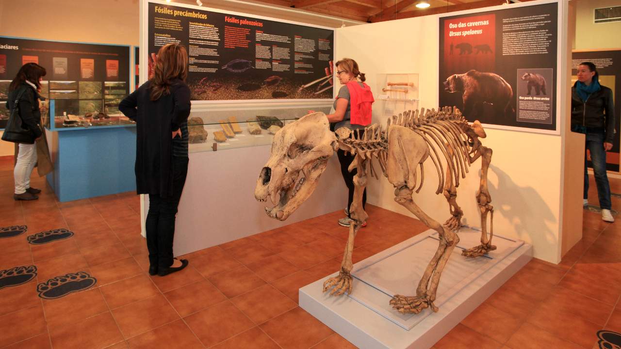
To visit the Montañas do Courel Geopark, the main town to visit is Quiroga (Lugo), which features a geological museum and an ethnographic museum. The Mining Museum in Ribas de Sil is also worth a visit.
You can find more information to plan your visit in the “Plan Your Trip” section of the Ribeira Sacra Tourism Consortium’s website .